
24 October 2021
Bucket List Item – Checked! I made it to Harpers Ferry today! It’s a national park historical site and yet there are people that still live in the town – population approximately 100. Even though it was Sunday and fairly early in the morning – just before 9 am – you could tell the shops and restaurants were getting ready to open.
I pulled into the visitor center and a ranger explained about the shuttle to and from Harpers Ferry. It runs so frequently, he uses it to go into the village and eat lunch. The shuttle is actually city bus-like. When it gets busy, there are 3 or 4 of them running constantly. Even though they have the shuttle bus, you can still drive the streets of Harpers Ferry – all four of them: Public Way, High Street, Potomac Street and Shenandoah Street. I was surprised at the traffic on an early Sunday morning and wonder why they still allow public vehicles. I had to dodge cars a couple of times.
The shuttle lets you off just before you come to Lower Town on Shenandoah Street. I walked immediately to the river and got my first real look at the Shenandoah River.
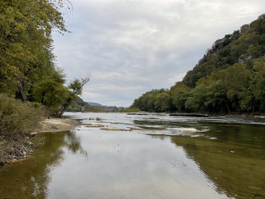
From the shuttle stop, it’s a very short walk down Shenandoah Street to Lower Town.
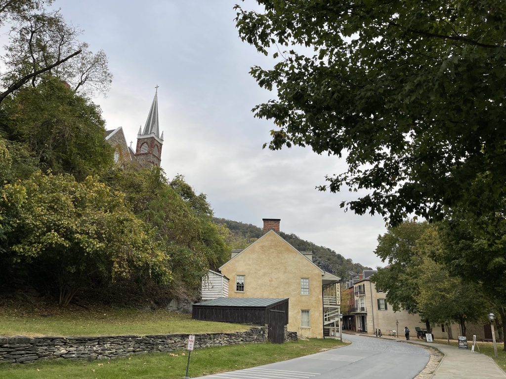
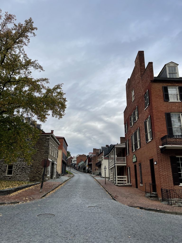
Just before you get to the junction of Shenandoah and Potomac Streets, you get a glimpse of High Street – aptly named. It’s far more steep than it looks and seems to hang from the sound of the mountain.
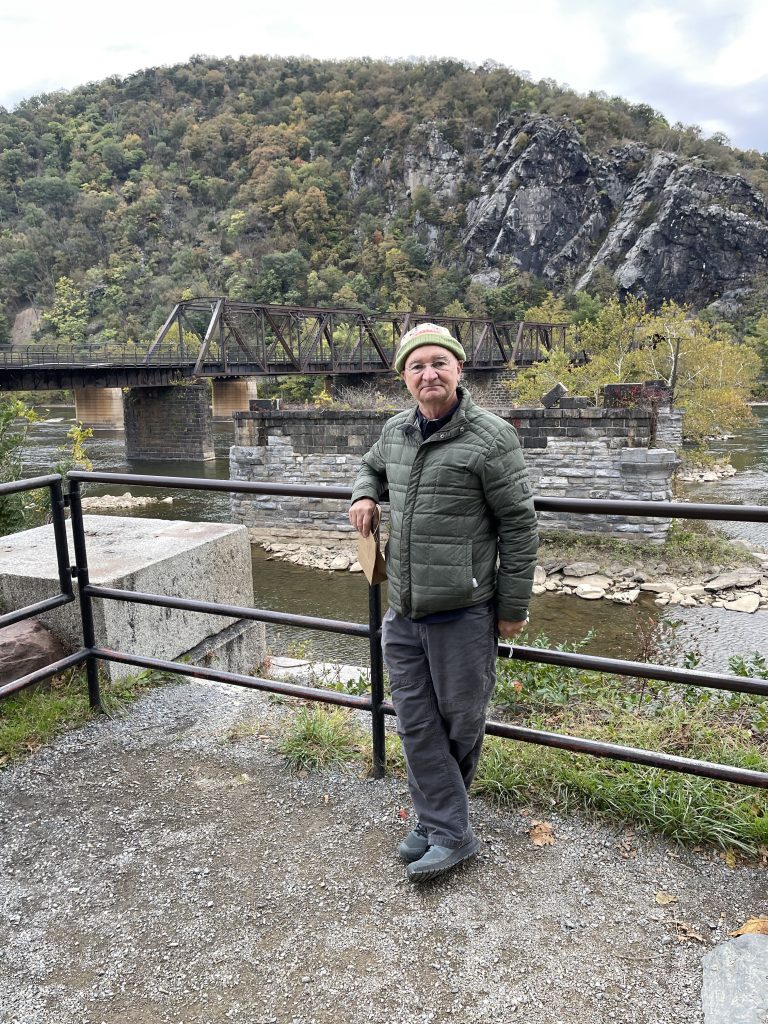
The whole point of my trip was to see the confluence of the Potomac River and the Shenandoah River at Harpers Ferry. Mission accomplished!

Of course, I wanted to see where John Brown made his last stand against the troops of Robert E. Lee. It’s called John Brown’s Fort.
Actually, the fort has been moved four separate times, once dismantled and moved to Chicago and reassembled near the Columbia Exhibition. Later it was relocated at Murphy’s Farm, then nearer the town at Storer College, and finally, back into Lower Town. It is situated today approximately 150 feet from its original site. The building was originally a fire station.
Potomac Street is a combination of museums, shops and restaurants.
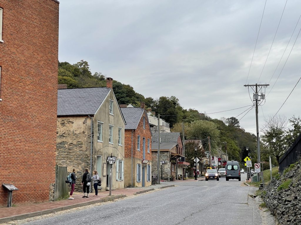
I chose a rather steep set of stairs off Potomac Street to get me to High Street.
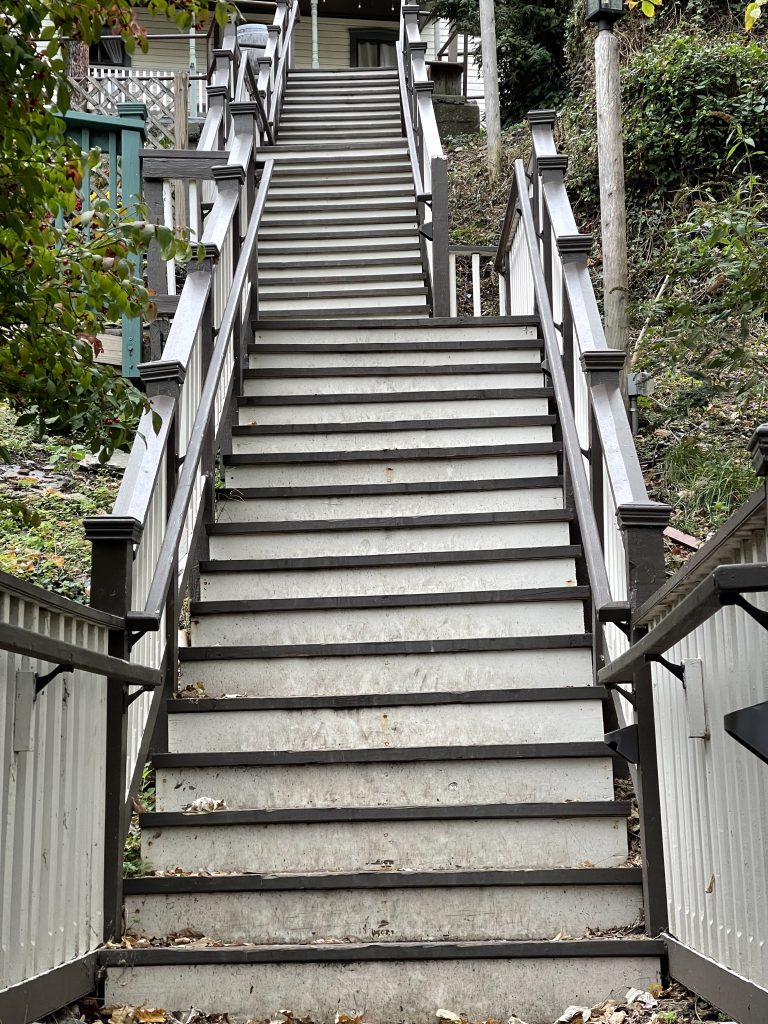
As I walked High Street back towards Shenandoah Street, I saw a set of steps leading to St. Peters Catholic Church. There seemed to be a photo shoot going on the steps to the church.
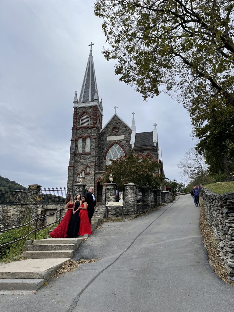
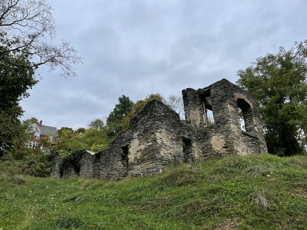
From the steps next to the church, a path led to Jefferson’s Rock (and the Appalachian Trail). As you walk up the trail, you pass the ruins of St. Johns Episcopal Church. They are quite stunning.
As you go further up the trail, you come to Jefferson’s Rock.
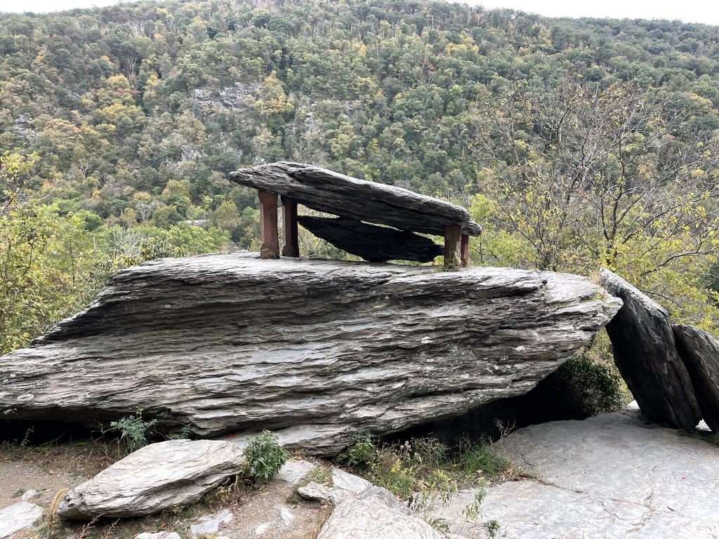
The rock looks much smaller than it did from original photos of the time. I suspect the actual rock did fall and it was replaced by a smaller look-alike.
From Jefferson’s Rock you get a great series of views.
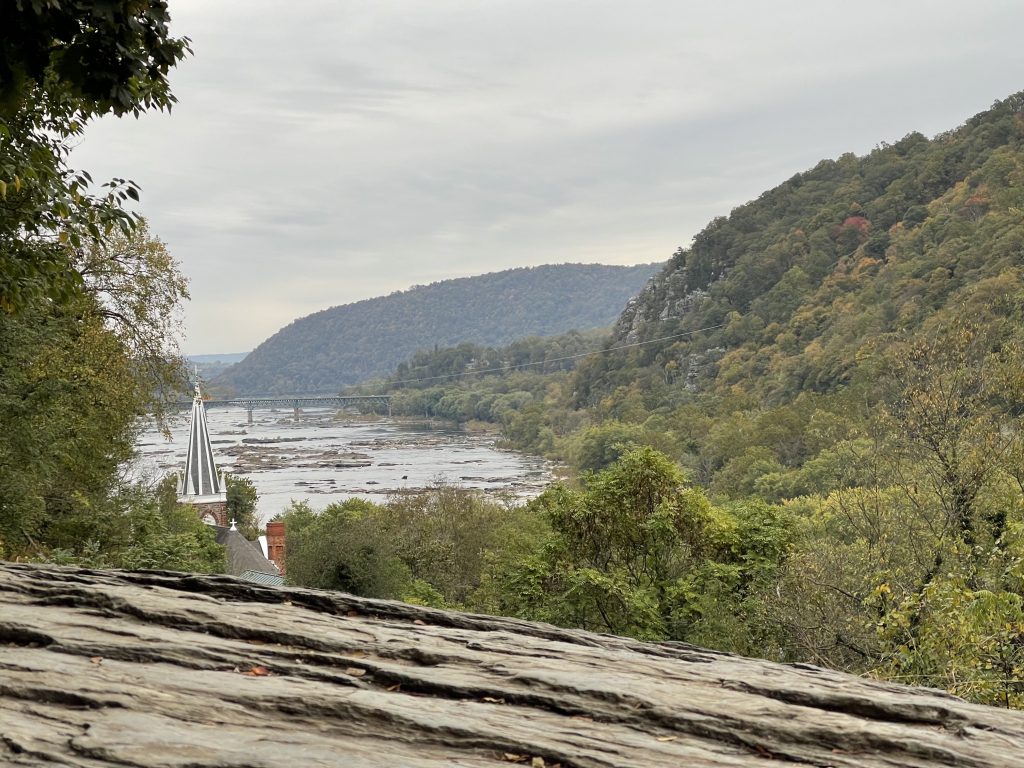
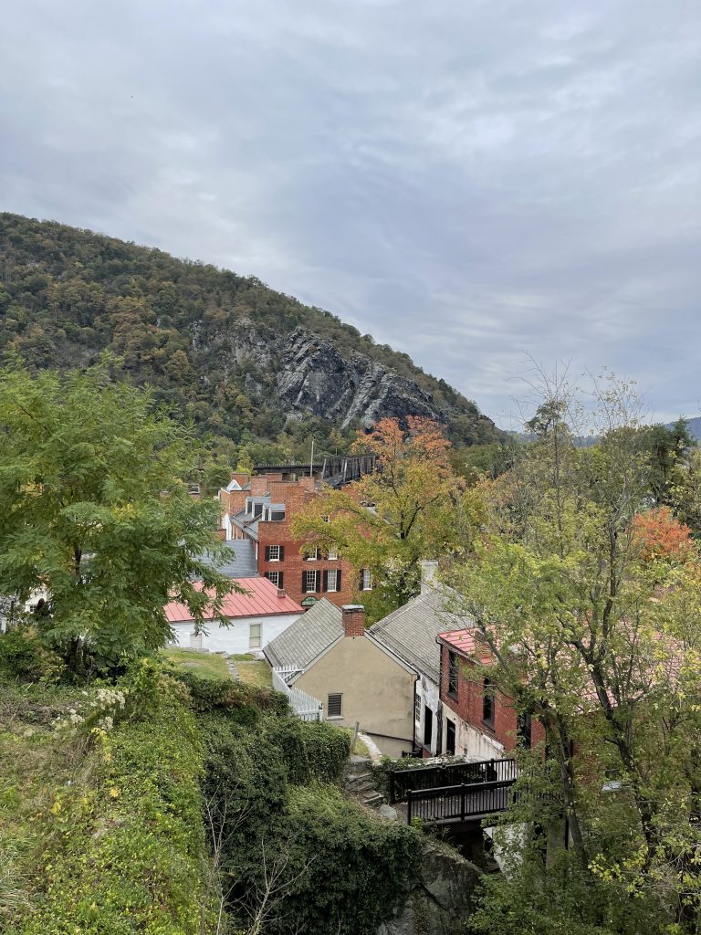
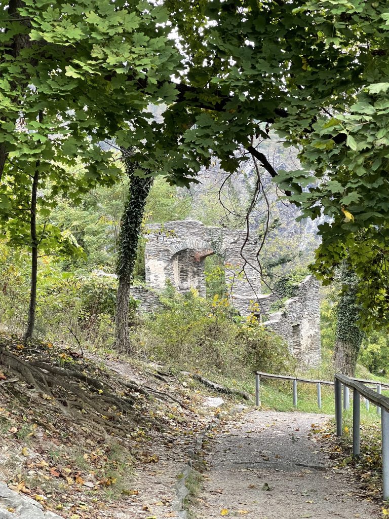
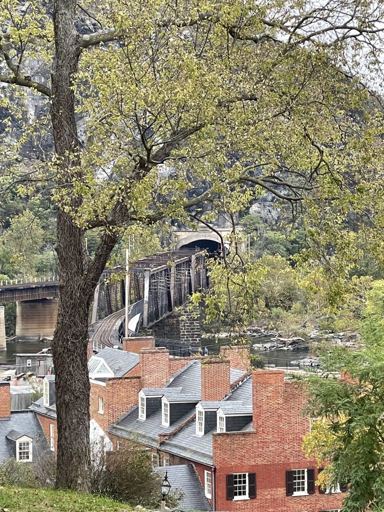
After I got back down to Shenandoah Street and Lower Town, I rebounded the shuttle for the visitor center. I changed into my hiking shoes and grabbed my day pack and headed for Murphy’s Farm Trail.
The trail is a 2.2 mile loop but I managed to eke out 4.4 miles somehow. I admit to being very tired once I returned to the visitor center. There was nothing special about the trail except you did get to see the foundation of John Brown’s Fort that was once on Murphy’s Farm.
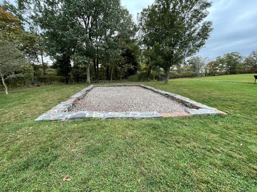
When the building was here, the Niagara Movement held a meeting here in 1906 . The Niagara Movement led to the founding of the NAACP three years later.
The best part of the trail was the overlook of the Shenandoah River.
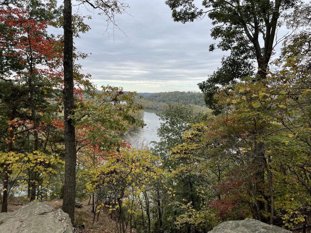
After a backpacker’s lunch at the visitor center, I drove up to Bolivar Heights, instrumental in Stonewall Jackson’s defeat of the Union forces at Harpers Ferry in 1862. The surrender of Union soldiers was the largest surrender of U.S. forces until the surrender of Bataan during WWII.
Tomorrow I head for Loft Mountain Campground for two nights of camping. The campground is the largest in Shenandoah National Park and has received accolades for its sites. I can at least take a shower if I can scrounge up $1.75. I was warned in an email that bears roam the campsite nightly and to lock any thing that smells (like food) away in your car. Great, now the bears will try to get in my car.
After my hike this morning, I’ll admit to a lack of stamina. Maybe the trip is wearing on me. In any case, I’ll pitch the tent, then think about the trails tomorrow and see what feels right – if I can find the place. There are two towns listed as the location of the campground. No street is listed so I’ll just follow my GPS to Shenandoah National Park and hope for the best. It is an adventure, after all.
Stay tuned!

This was fascinating reading and the pictures were even better than usual. If your stamina is down, you need to eat more tea cakes.