19 May 2023
It seems you can’t escape your oncological team by flying to Washington. I got a call yesterday morning where the scheduler for Dr. Arnaout wanted to set the date for the first infusion of chemo for May 22nd. I told her I wasn’t a fan of that idea since the port surgery was scheduled for May 25th. She then suggested May 26th and I suggested I wanted the surgery to heal before the first infusion. We settled on June 5th. She anticipates it’ll take 4 or 5 hours for the first infusion. They administer it slowly to see if you have any side effects to the cocktail.
Then some good news. I had an email from Invitae this morning telling me that the first series of genetic tests came back negative. I still have an outstanding series that will probably be ready in a couple of weeks but at least I’m in the clear on the first set.
Instead of adjusting to the time change, I seem to be getting worse. After the hike yesterday I came back and napped. This morning, I was up again at 4:30 am. That could be because I went to bed at 6 pm. Can’t wait to see how I do on the red eye flight back home on Saturday.
Dinner last night was at The Attic again. The martini was good. So far this trip, the best meal I’ve had has been as McDonalds and it was a damn sight cheaper. Later, I’ll load up and travel to North Bend again for the Twin Falls trailhead. It’s 17 minutes from the lodge and is a 2.5 mile out and back hike with an elevation gain of 636 feet. That’s about double of the gain for my last two hikes, so it should be a challenge. It’s rated moderate but I find that term has a wide leeway as to meaning.
10:30 am
OK, I don’t how it is possible I’ve survived this long in the woods. I’m surprised some hiker hasn’t come upon my decayed body on some trail. I generally consider myself good with directions and knowing where I am but somehow I always seemed to get turned around on trails. It’s happened too many times to count. At least today, I didn’t get turned around. More about this later.
I drove to Twin Falls trailhead and got started on my hike at 8:20 am. I read up on this hike and I knew that I would follow the south fork of the Snoqualmie River for the first little bit of the hike. I started out with a knit cap and my jacket. The temperature was 55°F. I soon shed both the jacket and the cap.
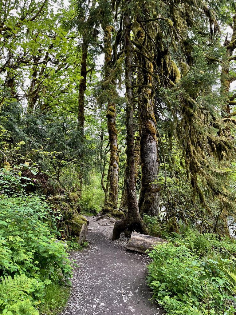
I also knew that I would make an approximate 400 foot climb up to get my first view of the falls.
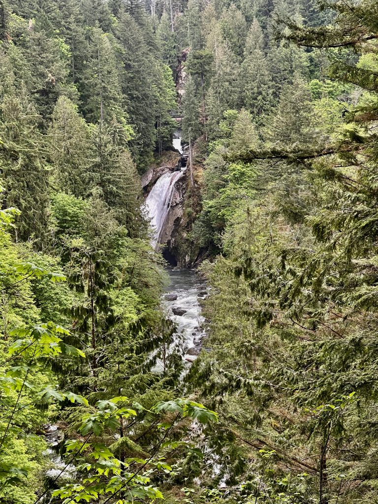
At the upper part of the falls, there are four smaller falls. The first is 45 feet, the second series is 20 feet, the third is 30 feet and then another 20 foot section. The main portion is 135 feet. None of the individual falls look alike, so there is no twining here.
Then I knew that you walked another section of the trail, steadily upward to view the 135 foot section from below. It’s called the lower falls view. I chose not to do that and instead decided to walk to the upper part first. That was another 500 feet in elevation. There is a bridge across the river at that point.
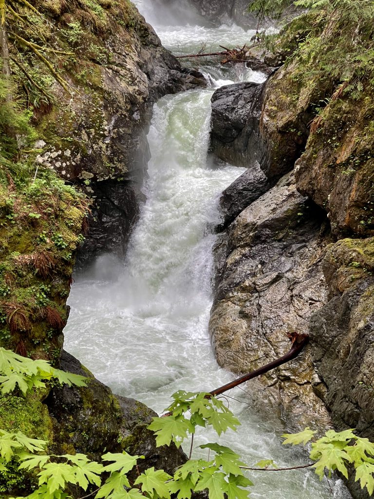
What I didn’t pay attention to is that the trail doesn’t end there. The Twin Falls trail goes for miles and miles. It eventually merges into the John Wayne Trail and the Homestead trailhead. I started up along the trail and dumbly kept climbing. In my defense, the park has only one sign – at the trailhead that says falls. There was no signage for the lower observation deck nor for the upper observation deck nor a sign saying the trail continued to the John Wayne trail. In the prosecution’s case, I should have remembered the bridge was the terminus of the part I wanted to accomplish.
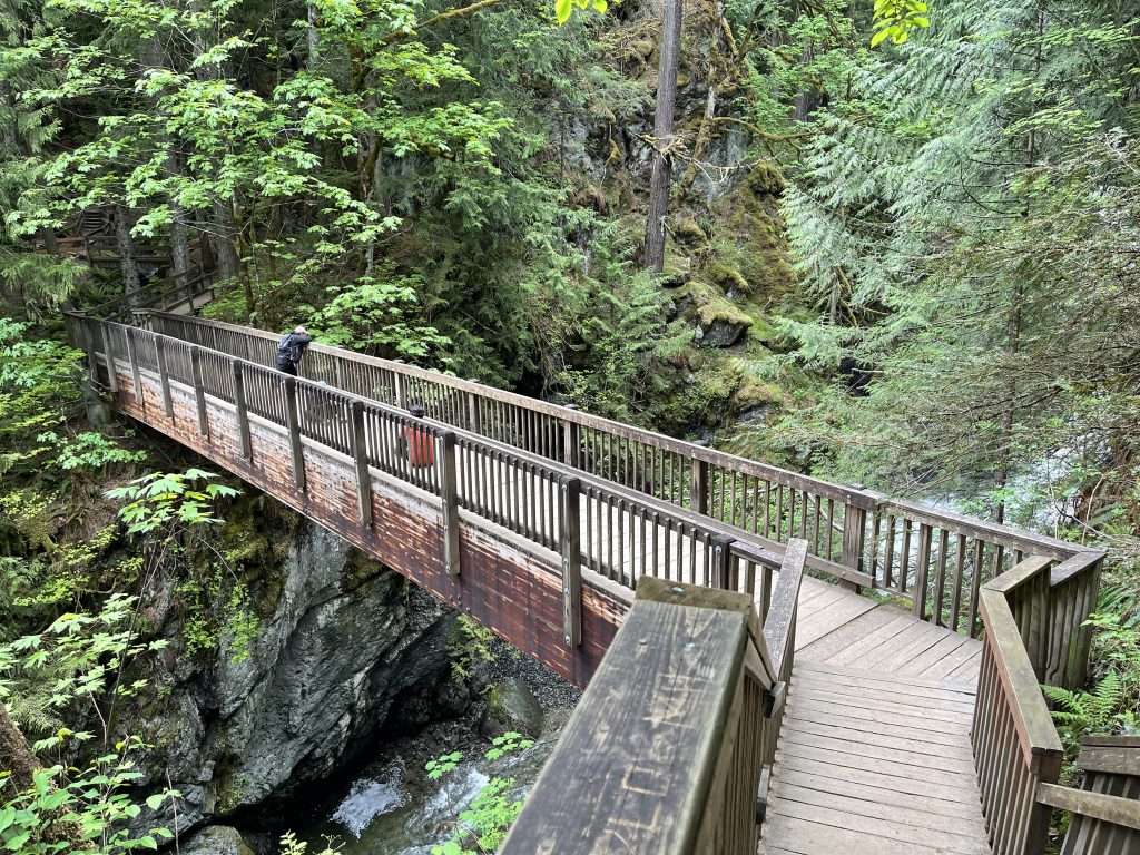
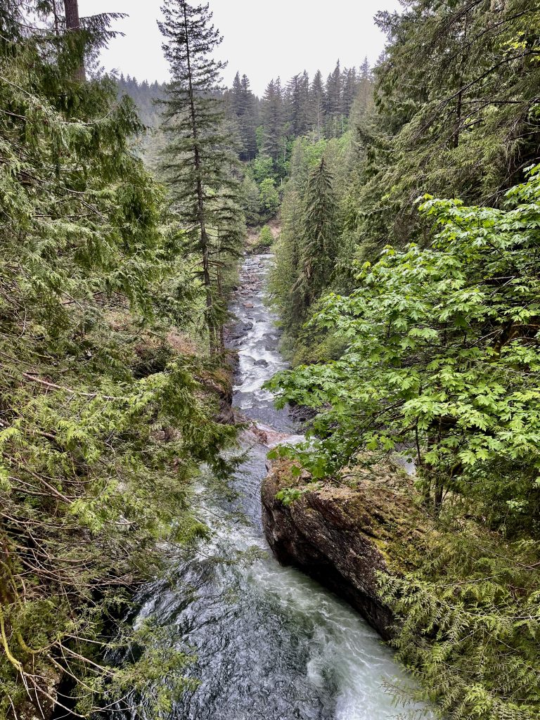
The view from the bridge back down from the way I came was pretty nice.
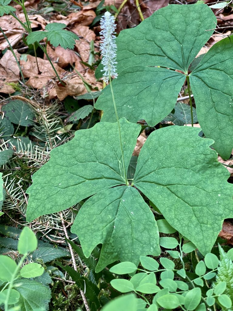
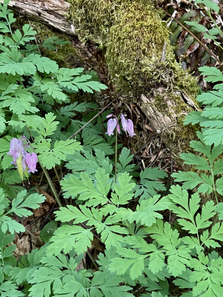
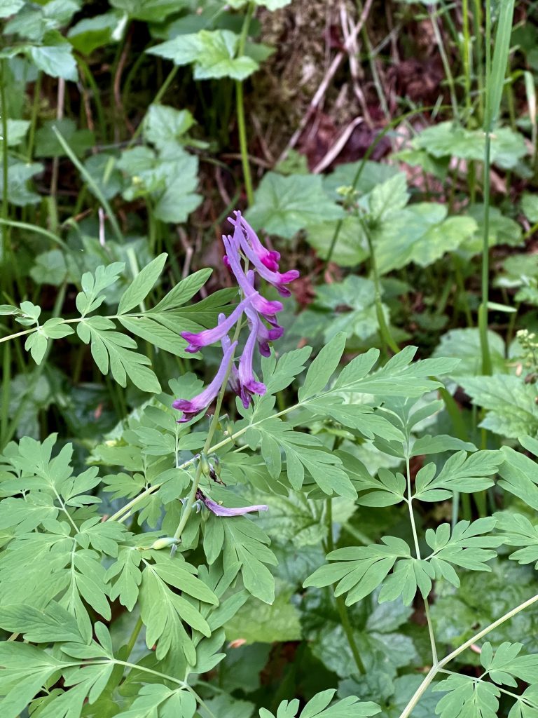
Wildflower were abundant along the way. I added three to my lifetime list of plants.
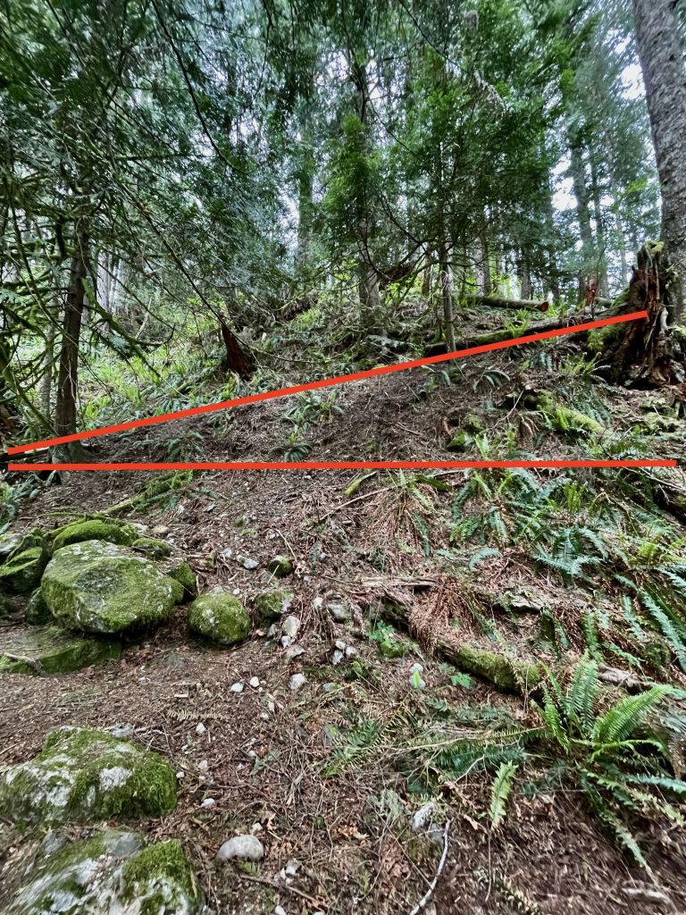
It didn’t matter what part of the trail I was on – it was some of the steeper inclines I’ve hiked.
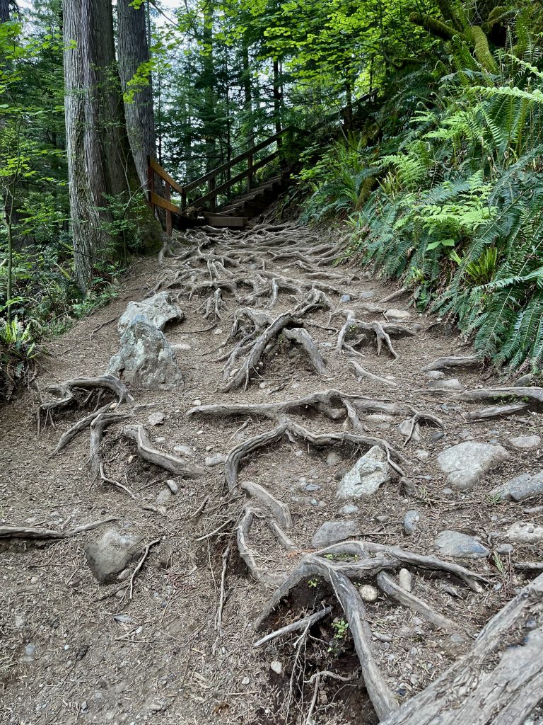
Then there were roots and steps. You know I hate steps.
In any case, I then decided to hike down to the lower part of the falls. After hiking a lot extra and turning around, I headed back down to the upper area and then down to the lower area. More stairs.
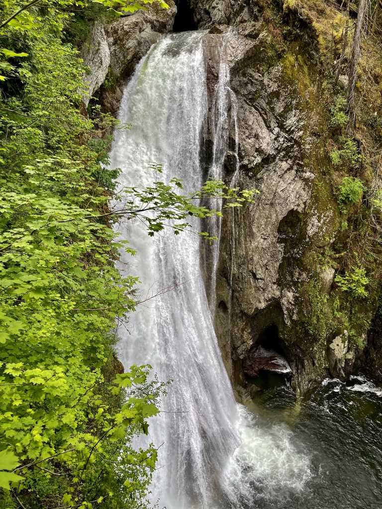
Most of the images I’ve seen of the falls show what is similar to a thin sheet of water coming over the rocks. This was gushing. Again with the spring melt. There is also a power plant at the very top of the series of falls but cannot be seen from the park.
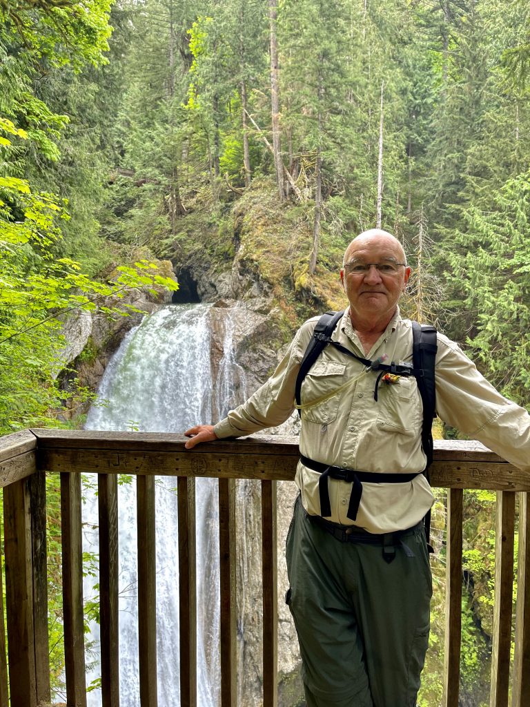
All in all, I hiked 3.69 miles (more than 1.2 miles than I needed to) with an elevation gain of 1001 feet. It took me 2.25 hours. Again, for perspective, AllTrails says the elevation gain is 636 feet to the top of the falls and the hike should only take a little over an hour. I added an additional 365 feet of elevation by overshooting the trail.
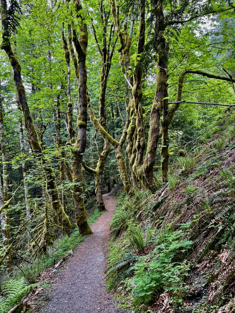
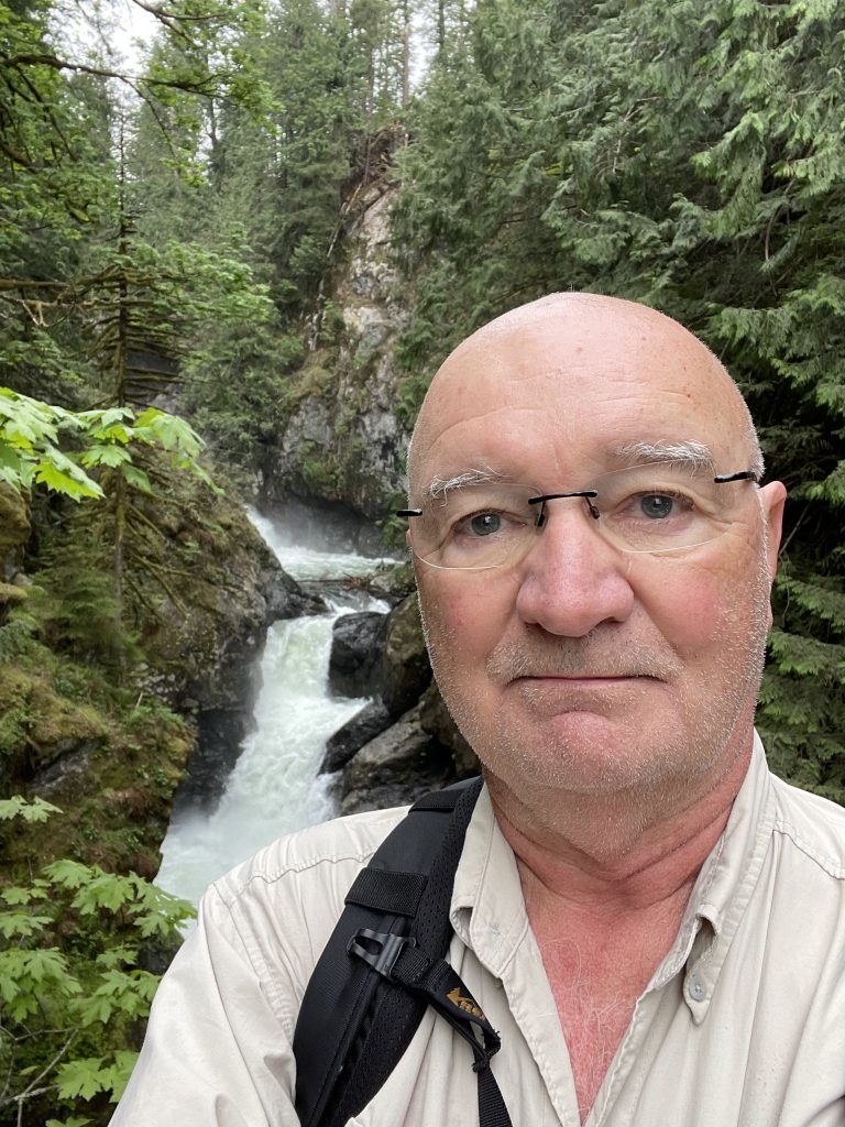
I’ve hiked a lot all over the U.S. and I think this is one of the more beautiful hikes I’ve done notwithstanding the idiocy of hiking and extra mile or two.
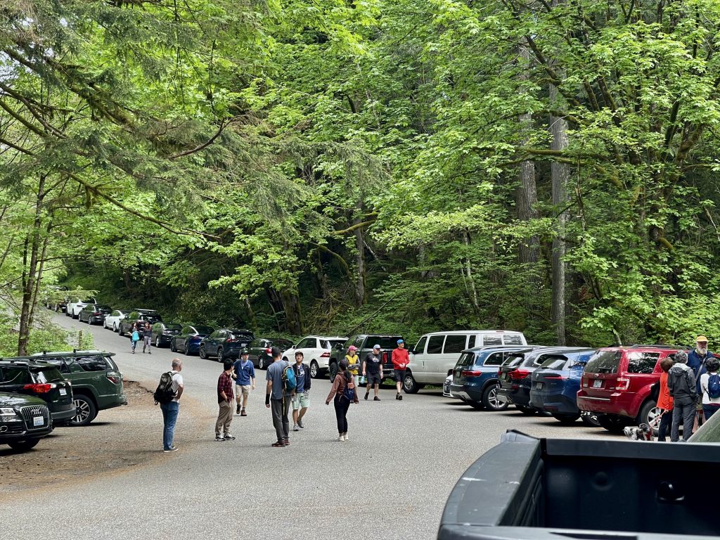
When I pulled in at 8:20, there were five cars in the parking lot. As the morning went on, I saw more and more people on the trail, many with dogs. At one point I stood on the side of the trail and let some 25 people pass before I continued. Some knew to yield to those going uphill and some didn’t. I always said good morning and sometimes got into conversations with the hikers. I really like that part – sharing experiences along the trail. I knew I’d met a lot of people going up the mountain as I descended but when I got to the parking lot, I was a little taken aback.
Tomorrow I head to Seattle. I have reservations to visit the Space Needle and then a trip to Pikes Market. Then I’ll be staying at the Paramount Hotel in downtown Seattle until around 10 pm and then the drive to the rental car return and catch the shuttle to SeaTac. I’ll spend time in the United Lounge until my 11:41 pm flight to Houston.
Tonight is another dining experience at The Dining Room. Can’t wait!
Stay tuned!
