30 April 2018
Yesterday, after publishing the day’s blog, I decided to check the alerts of the next two parks after Great Basin: Capitol Reef and Black Canyon of the Gunnison. The NPS often tells you any road closures, wildfires, bear alerts, etc.
The Capitol Reef alert took me aback. It said that as of February 2018 they were taking campsite reservations through recreation.gov. This was news to me. When I planned the trip to Capitol Reef, they were not taking campground reservations at all. Even more concerning is all of my campground reservations with national parks have been made through recreation.gov and you would think that since I’ve made so many reservations through them, they would have notified people who are registered with them of this change. Not so.
In any case, I immediately went to recreation.gov to make reservations and of course, they were booked. That led me to check Black Canyon of the Gunnison and they had changed also. One campsite did take reservations now and two others were no reservations. The one campsite you could reserve was also full.
Not wishing to be locked out of a place to stay to see Capitol Reef, I made motel reservations at the nearest place (8.8 miles from the park) and decided to do the same at Black Canyon of the Gunnison even though they have sites with no reservations. My reasoning is if the site you can reserve is filled, the odds are by the time I get to the park in the late afternoon, all the non-reserved sites will be taken. Who would have thought the parks would be so filled in early May?
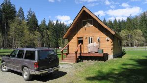
Best laid plans…. It’s an added expense. Most of the hotels in and around Capitol Reef (at least those you in which would deign to stay) run $160-180 per night indicating that they are now in season with higher rates. At least for Black Canyon of the Gunnison I was able to find a motel fairly economical with my Choice rewards package.
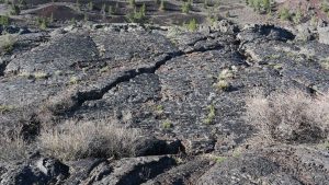
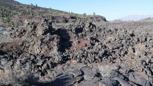
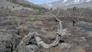
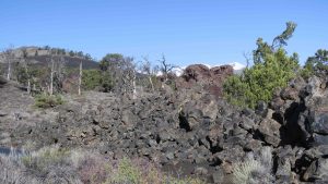
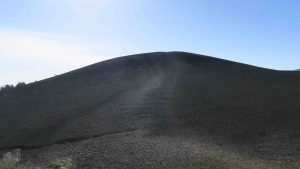
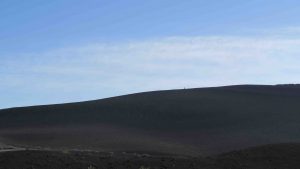
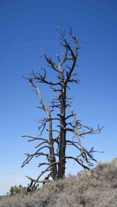
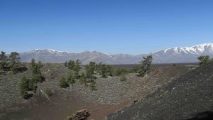
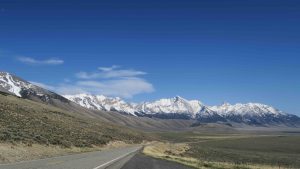
The only place I’ve been so far with unused campsites was Craters of the Moon, and I suspect it’s because most people have never heard of it and it’s a national monument, not a national park.
There are other options. The Bureau of Land Management allows camping and so does the National Forestry Service. Then there’s always the private campgrounds. However, at this late date, I opted for the motels for insurance.
That leaves me with only two more parks where I will be camping: Theodore Roosevelt and Isle Royale.